Welcome to the N2RWE Live Real-time APRS Map website! Our goal is to offer a diverse and easy-to-use set of tools along with a variety of data from APRS-IS, CWOP-IS, OGN, CBAPRS networks. We package this data around a responsive map with fast updates and disaply it with easy to read APRS symbols!


This website is built upon on a variety of cutting edge tools and technologies, woven together by carefully crafted, custom written software. The goal of the N2RWE Live Real-time APRS Map is to provide a highly responsive and interactive map with fast updates that aggregates data from as many publically available sources that we can find. This site provides several unique features such as Maidenhead Grid maps, a list of the latest heard stations and USA and Canadian license database search.
We also offer several other tools for APRS enthusiasts, including geolocation searching, reverse-address lookup, as well as diagnostic tools like live packet streams, station stats, history, etc. For those into Summits on the Air (SOTA), we process SOTA information that is sent over the APRS-IS network and link it to a variety of SOTA websites.

Not into APRS? Try Weather!

That's okay too. We offer a very unique and diverse set of tools geared towards weather buffs. Our servers collect and store data from the
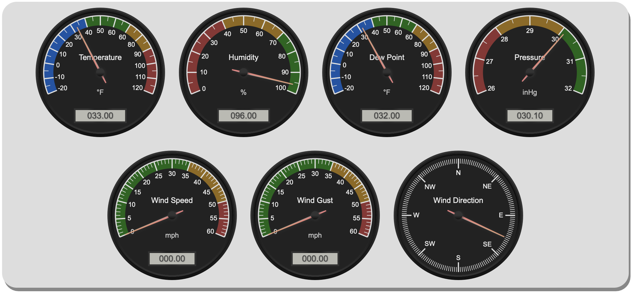
Citizens Weather network, which can be pesented several forms, including fancy weather gauges for current conditions (including dew point and wind chill), graphs of historical data, and exportable
table views of weather data. There's also a weather alamanac view that shows the past 7 days fo weather data recorded for every site, including daily extremes like
high and low temperatures, humidity, etc.

Not sure what APRS is?
APRS (Automatic Packet Reporting System) is a digital communications system that uses packet radio to send real time tactical information (on amateur radio frequencies). The APRS network is used by ham radio operators all over the world. Information shared over the APRS network is for example coordinates, altitude, speed, heading, text messages, alerts, announcements, bulletins and weather data. APRS has been developed by Bob Bruninga (silent key), callsign WB4APR. More information about APRS can be found at www.aprs.org or at wikipedia.
The APRS specification is not only used by ham radio operators, there are also for several other areas of use, such as e.g. for CWOP and OGN data, even European CB operators use it (CBAPRS).
About the Software
The N2RWE Live Real-time APRS Map is running on a collection of open source and custom software. The current site version is 4.1, release 2025-04 build 15a, released by Steve White, N2RWE. Please Contact Us with any questions about this website.


 Snapshot Active
 Filter Active
  Map Wizard Active


